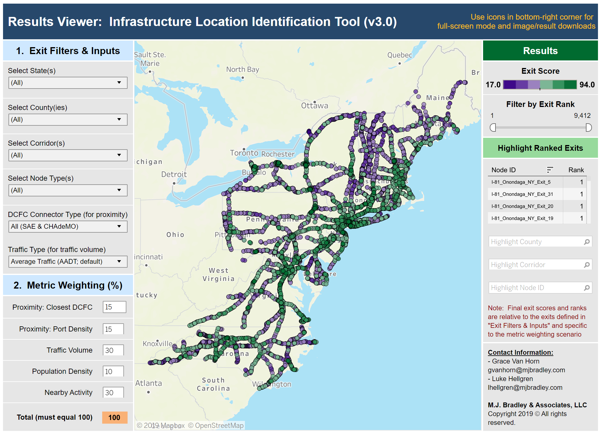
In partnership with the Georgetown Climate Center, M.J. Bradley & Associates recently released the 3.0 version of their Electric Vehicle Infrastructure Location Identification Tool. The tool was developed using a GIS-based analysis to evaluate the existing EV charging network and utilized a focused dataset to identify possible suitable locations for future EV infrastructure development. These tools are focused on public direct current fast charging infrastructure along over 12,500 miles of key EV corridors in the 12-state Transportation and Climate Initiative region (Virginia to Maine, including D.C.), and North Carolina.
The updated tool now covers over 12,500 miles of key transportation corridors ranging from North Carolina to Maine. This regional EV corridor analysis includes an interactive map of public fast charging infrastructure along corridors in the region and Excel- and web-based tools that can be used to identify which highway exits and other key locations may be good candidates for additional charging infrastructure investment.
More About this Resource
Publisher: M.J. Bradley & Associates
Date: October 31, 2019
Type: Apps & Tools
Countries: United States
States: None
